Offline
The whole track is on the phone: map, terrain and contours, satellite, routes and every chapter. Nothing to download at the trailhead, nothing that stops when the signal does.
Field notes for multi-day walks. One app per trail, a guide's voice on a map that knows where you are on the page.
Works without signal. Nothing leaves the phone.
Overland Track first · Three Capes and the South Coast follow
Acrux is the brightest star of the Southern Cross, the one at its foot. Follow the long axis four and a half times and you are looking south.
The real map from the Overland Track app, with a few of its notes. Click a note to go there.
What is in the Overland Track app.
The whole track is on the phone: map, terrain and contours, satellite, routes and every chapter. Nothing to download at the trailhead, nothing that stops when the signal does.
Each day is its own colour along the line. Tap a day for its chapter, a hut for its details. Tilt for the terrain, switch to satellite, follow the profile along the whole walk.
Pick tonight's hut. The card shows distance done, distance to go, pace and an arrival estimate, and lets you know if you are off the line or cutting it fine for sunset. Distances are measured along the track or quoted from the park, and the app says which.
Day chapters, plus Before You Walk, Getting There, Field Craft and the Weather Machine. The gear list and the booking timeline as checklists.
No account, no sign-in, no analytics. One permission, your location, used on the device. Sunrise and sunset are worked out there too.
Short films of the app on the track are being made. They will sit here.
Each trail is its own app, named for the place, with a mark drawn from its own elevation profile under the Southern Cross. The maps underneath come from Lunette, HammerLabs' own cartography.
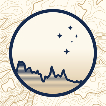 Overland TrackCradle Mountain to Lake St Clair, Tasmania. Seven days, 65 km.First
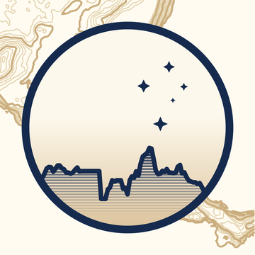 Three Capes TrackTasman Peninsula, Tasmania. Four days.In production
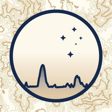 South Coast TrackMelaleuca to Cockle Creek, Tasmania. Six to eight days.In production